
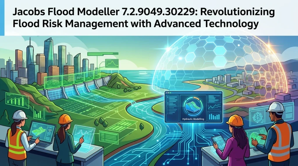


Overview of Jacobs Flood Modeller
Table of Contents
Jacobs Flood Modeller 7.2.9049.30229 is a powerful and comprehensive software suite designed for flood risk assessment, hydraulic modeling, and water management. Developed by Jacobs, a global engineering and technology leader, this advanced tool is the industry standard for accurately simulating river, coastal, and urban flooding. By integrating cutting-edge technology with user-friendly interfaces, the software empowers engineers, environmental scientists, and urban planners to make informed decisions that protect communities and infrastructure from the devastating impact of floods.
Key Features of Flood Modeller 7.2
The software is packed with features that streamline the entire flood modeling workflow. Key capabilities include:
-
Advanced 1D and 2D Hydraulic Solver: Combines 1D river and 2D overland flow simulation for comprehensive analysis.
-
Integrated Urban Flood Modeling: Simulates interactions between sewer systems and surface runoff.
-
Real-time Flood Forecasting: Enables live data integration for early warning systems.
-
GIS Integration: Seamlessly imports and exports data from popular GIS platforms like ArcGIS and QGIS, using standard file formats such as shapefiles and geodatabases.
-
Cloud-Based Processing: Utilizes high-performance cloud computing for faster simulation run times.
-
Python Scripting Interface: Allows for automation and customization of complex modeling workflows.
-
Advanced Visualization: Creates detailed 2D maps, 3D animations, and interactive dashboards to communicate results effectively.
What’s New in Flood Modeller Version 7.2
Version 7.2 represents a significant leap forward in flood modeling technology. This latest update focuses on improving performance, accuracy, and usability:
-
Enhanced GPU Acceleration: New algorithms leverage modern graphics cards to dramatically speed up 2D simulations, reducing computational time from hours to minutes.
-
Improved Urban Drainage Module: More sophisticated algorithms for modeling culverts, weirs, and storm drains under complex conditions.
-
AI-Assisted Parameter Estimation: New machine learning tools help automatically calibrate model parameters against observed data, increasing model accuracy.
-
Enhanced User Interface (UI): A redesigned, more intuitive dashboard that simplifies complex tasks and improves the user experience for both beginners and experts.
-
Open Data Format Support: Better support for open geospatial data standards, making it easier to integrate global datasets like Copernicus and USGS data.
-
Multi-Platform Compatibility: The software is fully optimized for 64-bit Windows 10 and Windows 11 environments.
System Requirements for Flood Modeller 7.2
To ensure the software runs smoothly, your system should meet the following specifications:
-
Operating System: Microsoft Windows 10 (64-bit) or Windows 11 (64-bit).
-
Processor: Intel Core i5 or equivalent (Intel Xeon or i7 recommended for large models).
-
Memory (RAM): 8 GB minimum (32 GB or more recommended for large 2D models).
-
Hard Disk Space: 2 GB for installation; additional space for project files.
-
Graphics Card: Dedicated graphics card with support for DirectX 11 and at least 4 GB of video memory is recommended for visualization and GPU acceleration.
-
Screen Resolution: 1280 x 1024 or higher.
Installation Guide
Installing Jacobs Flood Modeller 7.2 is a straightforward process:
-
Purchase and Download: Obtain the software from the official Jacobs portal. Download the installer package.
-
Run the Installer: Locate the downloaded
.exefile, right-click, and select “Run as administrator.” -
Accept the License Agreement: Read and accept the End-User License Agreement (EULA).
-
Choose Installation Location: Select the destination folder for the program files. The default directory (C:\Program Files\Jacobs\Flood Modeller) is recommended.
-
Select Components: Choose which components to install (e.g., core engine, GIS plugins, documentation).
-
License Activation: After installation, launch the software and activate your license using the provided serial key or network license server.
-
Complete Installation: Follow the on-screen prompts to finish the setup. A system restart may be required.
How to Use Jacobs Flood Modeller: A Step-by-Step Guide
Understanding how to use the software effectively is key to achieving reliable results. The typical workflow involves:
-
Project Setup:
-
Launch Flood Modeller 7.2.
-
Create a new project and define the project properties, including units and coordinate reference system (e.g., EPSG:27700 for Great Britain).
-
-
Data Import:
-
Import Digital Terrain Model (DTM) data from ASCII or GeoTIFF files.
-
Import river cross-section data and hydraulic structures (e.g., weirs, bridges) from CSV files or GIS shapefiles.
-
-
Model Construction:
-
Define the 1D river network in the main channel.
-
Set up the 2D domain for the floodplain, specifying boundary conditions.
-
Create a linkage between the 1D and 2D components to simulate water exchange.
-
-
Parameter Assignment:
-
Assign roughness coefficients (e.g., Manning’s n values) to the floodplain.
-
Define boundary conditions, such as inflow hydrographs (flow over time) and downstream tidal levels.
-
-
Simulation and Computation:
-
Configure the simulation parameters (e.g., simulation time, time step).
-
Run the simulation and monitor the progress in the console.
-
-
Visualization and Analysis:
-
View the simulation results in 2D and 3D visualization panels.
-
Create flood extent maps, depth grids, and velocity maps.
-
Generate reports and animations for stakeholder communication.
-
Best Use Cases for Flood Modeller
The software is a versatile tool used across multiple sectors and applications:
-
Detailed River Flood Mapping: Creating accurate maps for flood risk zones (e.g., for the Environment Agency in the UK or FEMA in the US).
-
Flood Risk Assessment: Identifying and mitigating risks to new infrastructure projects.
-
Flood Mitigation Scheme Design: Designing and optimizing natural and hard flood defenses like levees, floodwalls, and wetlands.
-
Climate Change Adaptation: Assessing the impact of sea-level rise and increased storm intensity on coastal communities.
-
Emergency Planning: Developing real-time flood forecasting systems and evacuation plans.
-
Dam Break Analysis: Modeling the potential flooding from a dam failure to protect downstream populations.
-
Agricultural Runoff Management: Analyzing the impact of agricultural practices on flood risk.
Advantages and Limitations of Flood Modeller
Every software has its strengths and weaknesses. Here’s a balanced look at Jacobs Flood Modeller.
Advantages:
-
Industry Standard: Widely used by government agencies, consultancies, and academia, making it a credible and trusted solution.
-
Technical Excellence: The 1D/2D solver is robust, accurate, and validated against a vast array of real-world scenarios.
-
Continuous Development: Backed by a global leader in engineering with consistent updates and dedicated support.
-
Scalability: Suitable for small catchment studies and large, complex regional models.
-
Excellent Support Network: Comprehensive user manuals, tutorials, and a knowledgeable support team.
Limitations:
-
Cost: A premium software solution with significant licensing costs, making it less accessible for small firms or individual researchers.
-
Steep Learning Curve: Requires a strong background in hydrology and hydraulic principles; the full feature set can be overwhelming for new users.
-
Hardware Demands: Running large 2D models requires powerful computing hardware, which can be expensive to procure.
-
Proprietary Format: While it supports open formats, it is primarily designed around a proprietary workflow, which can create vendor lock-in.
Alternatives to Jacobs Flood Modeller
Several other software packages can perform flood modeling, each with its own strengths:
-
HEC-RAS: A free, widely-used software developed by the US Army Corps of Engineers. It is a powerful 1D/2D tool that is excellent for education and many professional projects.
-
MIKE 11 & MIKE 21: A robust suite of tools from DHI for water modeling, popular in Europe and Asia.
-
TUFLOW: A highly capable, licensed 1D/2D modeling engine known for its performance and integration with GIS, often used in Australia and the Americas.
-
InfoWorks ICM: A comprehensive integrated catchment modeling package from Autodesk.
-
Delft3D: An open-source, multi-model suite from Deltares, offering advanced 2D and 3D modeling capabilities.
Frequently Asked Questions
1. What is Jacobs Flood Modeller used for?
It is a specialized software used for simulating floods to create flood risk maps, assess the impact of new developments, and design flood mitigation infrastructure.
2. Is Jacobs Flood Modeller free?
No, Flood Modeller is a licensed commercial software. You can contact Jacobs for a quote, and they offer a free trial version with limited functionality.
3. What is the difference between Flood Modeller 1D and 2D?
1D modeling simulates water flow along a defined linear path (like a river channel), while 2D modeling simulates water flow across a surface grid, representing the floodplain’s complex topography.
4. Can Flood Modeller integrate with GIS software?
Yes, it has extensive integration capabilities with GIS platforms, allowing you to import and export data via shapefiles and geodatabases.
5. Is training available for using this flood modeling software?
Yes, Jacobs regularly provides formal training courses, and many third-party consultants also offer specialized training.
6. What file formats does Flood Modeller support?
It supports a wide range, including ASCII, GeoTIFF (for terrain), shapefiles, and specific formats from other data providers.
7. How do I get a trial version of Flood Modeller 7.2?
You can request a trial license directly from the Jacobs website by filling out the contact form for the Flood Modeller team.
Final Thoughts
Jacobs Flood Modeller 7.2.9049.30229 stands as a pivotal tool in the fight against flooding, a natural hazard exacerbated by climate change. This latest version combines the robust, trusted modeling capabilities of the software with modern advancements in AI, cloud computing, and GPU acceleration. For professionals in the fields of hydrology, civil engineering, and urban planning, investing time in mastering this software is an investment in protecting lives and infrastructure for generations to come.
Our Paid Service
“We do not sell or provide any software. We only offer professional support services. If any software on your system is not working properly, or you are facing installation errors, crashes, or any other technical issue — just contact us. We will help you fix the problem quickly and remotely via AnyDesk. No software will be provided from our side — only expert troubleshooting and support.”