
Overview of PointCloudWIZ for AutoCAD
Table of Contents
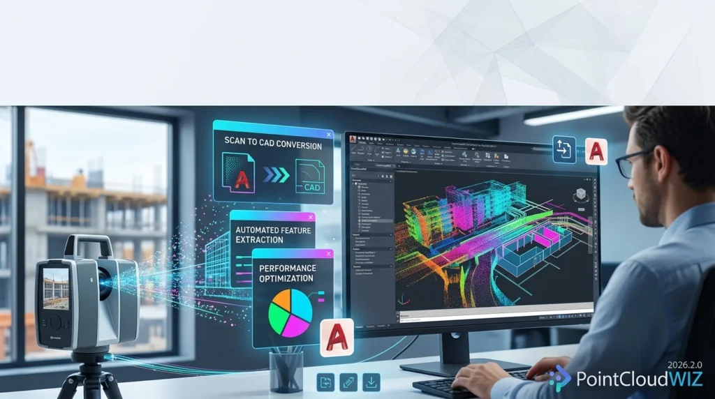
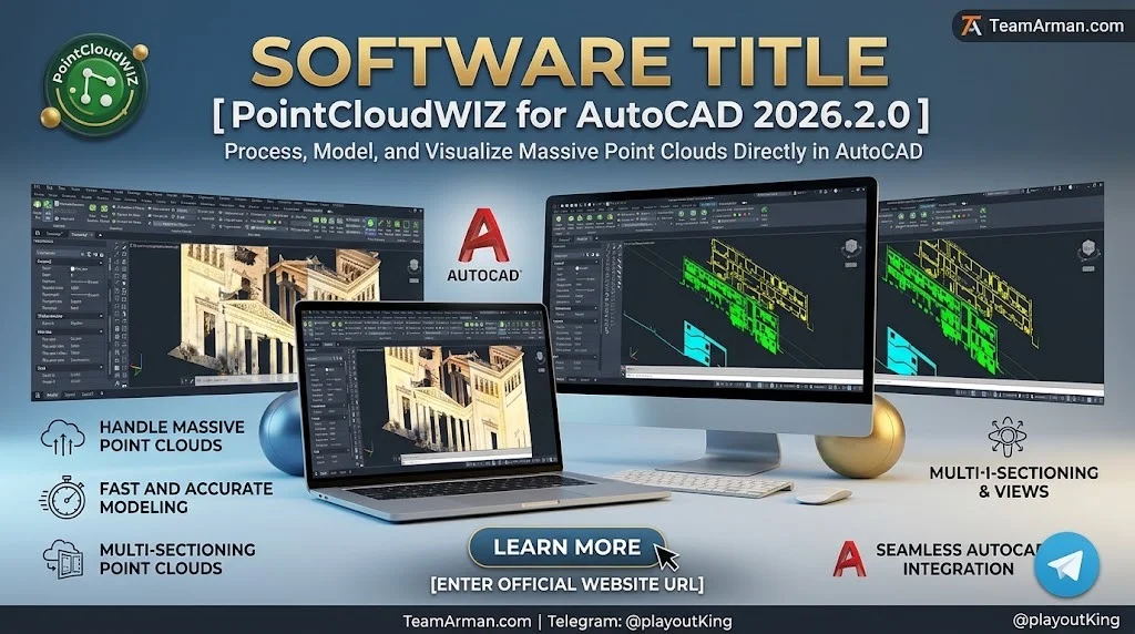
PointCloudWIZ is a dedicated AutoCAD plugin designed for point cloud modeling and reality capture data processing. Unlike standalone point cloud suites such as Leica Cyclone or FARO Scene, PointCloudWIZ operates directly within the AutoCAD environment, allowing users to work with familiar tools while leveraging advanced point cloud functionality.
The plugin addresses a common bottleneck in architectural and surveying workflows: the manual translation of 3D scan data into usable CAD geometry. PointCloudWIZ automates key steps such as floor level detection, wall line extraction, and stair modeling, reducing drafting time and improving geometric fidelity.
Primary keyword integration: PointCloudWIZ for AutoCAD 2026 is a cost-effective alternative for professionals who need point cloud-to-CAD conversion without investing in expensive standalone reality capture suites.
Key Features of PointCloudWIZ
PointCloudWIZ offers a focused set of features that enhance the point cloud workflow inside AutoCAD.
Direct Modeling and Geometry Translation
The plugin translates 3D scan data into standard CAD objects and 2D/3D geometry without clunky workarounds. This includes:
-
Automatic detection of planes, cylinders, cones, and spheres from point cloud data.
-
Extraction of intersection lines and corner points for precise 3D drawing.
-
Fit Plane, Fit Cylinder, Fit Cone, and Fit Sphere tools for reverse engineering applications.
Efficient Floor Plan Creation
PointCloudWIZ streamlines the creation of 2D floor plans from point clouds by setting levels, extracting lines, and inserting structural components.
-
Level definition: Prepare the building’s point cloud for drafting by defining levels.
-
Automatic line extraction: Extract lines and polylines from a level section with a single click near the wall; PointCloudWIZ detects and draws the best-fit line.
-
Wall line tools: Fit Wall Line, Track Wall Line, Detect Wall Line, and Align Polyline functions for accurate architectural drafting.
Stair Extraction and Structural Components
One of the standout capabilities of PointCloudWIZ is its ability to turn complex point clouds into precise stair models in just a few clicks. This feature is particularly valuable for as-built documentation and renovation projects where stair geometry must be captured accurately.
Measurement and Dimension Tools
PointCloudWIZ includes a suite of measurement tools that operate directly on point cloud data:
-
Point Information
-
Measure Distance and Distance Dimension
-
Measure Angle and Angular Dimension
-
Analyze Plane Deviation
Slice and Section Management
The plugin provides advanced slicing capabilities, including UCS Slice, Multiple Slice, Detect Floor, and Slice Position and Thickness controls. A Slice Manager helps organize and navigate multiple cross-sections.
Image Vectorization and Orthographic Output
PointCloudWIZ supports orthographic image generation and image vectorization, enabling users to produce scaled drawings from point cloud projections.
What’s New in PointCloudWIZ 2026.2.0
The 2026.2.0 release focuses on performance improvements and expanded compatibility with the latest Autodesk AutoCAD 2026 platform.
-
AutoCAD 2026 compatibility: Full support for the 2026 release of AutoCAD, including its vertical applications.
-
Enhanced stair extraction: Improved algorithms for detecting and modeling stair geometry from complex point clouds.
-
RCP format optimization: The plugin relies on the RCP (ReCap) format for importing point cloud data, ensuring smooth integration with Autodesk’s reality capture ecosystem.
-
Improved slice management: Faster performance when working with large datasets exceeding 100 million points.
System Requirements for PointCloudWIZ
To run PointCloudWIZ for AutoCAD 2026.2.0 effectively, your workstation should meet the following recommended specifications.
| Component | Minimum | Recommended |
|---|---|---|
| Operating System | Windows 10 (64-bit) | Windows 11 (64-bit) |
| Processor | Intel Core i5-10400 or AMD Ryzen 5 equivalent | Intel Core i7 or AMD Ryzen 7 (3.0 GHz or higher) |
| RAM | 16 GB | 32 GB or more for clouds exceeding 100 million points |
| Graphics Card | NVIDIA GeForce GTX 1060 or AMD Radeon RX 580 | NVIDIA Quadro or GeForce RTX series with 4 GB VRAM |
| Storage | Sufficient space for point cloud files and AutoCAD installation | SSD recommended |
| Host Application | Autodesk AutoCAD 2026 | AutoCAD 2026 with vertical applications |
Additional requirements:
-
Microsoft .NET Framework 4.0 or later.
-
The appropriate version of Autodesk AutoCAD must be installed on your computer before installing the plugin.
Installation Guide for PointCloudWIZ
Installing PointCloudWIZ is a straightforward process that integrates the plugin into your AutoCAD ribbon.
Step-by-Step Installation
-
Obtain the official installer: Download the PointCloudWIZ setup file from the official GEOSPACE distribution channel.
-
Close AutoCAD: Ensure that AutoCAD is not running before starting the installation.
-
Run the installer: Follow the on-screen prompts to install the plugin.
-
Load the plugin into AutoCAD:
-
Open AutoCAD.
-
Use the
_APPLOADcommand or navigate to Tools > Load Application. -
In the Startup Suite, click Contents and then Add.
-
Browse for the PointCloudWIZ plugin file and add it to the startup suite.
-
-
Verify installation: After loading, a “PointCloudWIZ” tab should appear on the AutoCAD ribbon.
Post-Installation Configuration
-
Ensure that your point cloud data is in RCP (ReCap) format before importing. PointCloudWIZ relies exclusively on RCP imports.
-
Configure your UCS settings and slice parameters according to your project requirements.
How to Use PointCloudWIZ for Point Cloud Modeling
PointCloudWIZ follows a logical workflow that mirrors typical architectural and surveying drafting processes.
Importing Point Cloud Data
-
Navigate to the PointCloudWIZ ribbon tab.
-
Select Insert > Import Point Cloud.
-
Choose your RCP file and confirm the import settings.
Preparing the Point Cloud for Drafting
-
Define levels: Set the building’s floor levels to organize your point cloud data.
-
Align the point cloud: Use the Align Point Cloud tool to orient the scan correctly.
-
Set UCS: Configure the User Coordinate System for accurate slicing and extraction.
Extracting Floor Plans
-
Create a slice: Use the Slice tools to generate a horizontal cross-section at your desired height.
-
Extract wall lines: Click near a wall in the slice; PointCloudWIZ will detect and draw the best-fit line automatically.
-
Refine geometry: Use Track Wall Line and Align Polyline tools to adjust extracted lines.
-
Insert structural components: Add columns, doors, and windows as needed.
3D Modeling from Point Clouds
-
Use Extract Intersection Line and Extract Corner Point tools for 3D geometry.
-
Apply Fit Plane, Fit Cylinder, Fit Cone, and Fit Sphere for reverse engineering.
-
Use Extract Cylinder Axis and Extract Sphere Center for mechanical and industrial applications.
Measurement and Analysis
-
Use Point Information to query individual point coordinates.
-
Apply Measure Distance and Measure Angle for dimensional verification.
-
Use Analyze Plane Deviation to assess surface flatness against the point cloud.
Best Use Cases for PointCloudWIZ
PointCloudWIZ is suited for a range of professional workflows that involve reality capture data.
Architectural As-Built Documentation
Architects and surveyors can rapidly convert laser scans of existing buildings into accurate 2D floor plans and 3D models. The automatic wall line extraction and level detection features significantly reduce manual drafting time.
BIM and Renovation Projects
For BIM workflows, PointCloudWIZ provides a bridge between scan data and Revit-ready geometry. The plugin’s RCP compatibility ensures seamless integration with Autodesk’s reality capture pipeline.
Stair and Complex Geometry Extraction
The dedicated stair extraction tool is particularly valuable for projects involving multi-level buildings, historic structures, or industrial facilities where stair geometry is complex and difficult to model manually.
Surveying and Topographic Mapping
Surveyors can use PointCloudWIZ to extract terrain features, measure distances, and generate orthographic images for topographic mapping.
Interior Design and Space Planning
Interior designers can import point clouds of existing spaces and quickly generate accurate floor plans for space planning and renovation design.
Advantages and Limitations of PointCloudWIZ
Advantages
-
Cost-effective: At approximately €600 annually, PointCloudWIZ is significantly more affordable than standalone point cloud suites like PointCab (€5,580/year) or As-Built for Revit (€1,975/year).
-
Native AutoCAD integration: Works directly inside AutoCAD, eliminating the need to switch between applications.
-
Automated floor plan extraction: Reduces drafting time with one-click wall line detection.
-
Stair extraction: Unique capability for modeling stair geometry from point clouds.
-
RCP compatibility: Seamless integration with Autodesk ReCap and other Autodesk products.
-
User-friendly interface: Intuitive ribbon-based tools that follow AutoCAD conventions.
Limitations
-
RCP-only import: The plugin relies exclusively on the RCP format, which may require pre-processing of other point cloud formats.
-
AutoCAD dependency: Requires a valid AutoCAD 2026 installation; it is not a standalone application.
-
Large dataset performance: Clouds exceeding 100 million points may require 32 GB or more RAM for smooth operation.
-
Limited compatibility: Primarily designed for AutoCAD; other CAD platforms are not supported by this version.
Alternatives to PointCloudWIZ
Several other point cloud plugins and standalone solutions compete with PointCloudWIZ in the AutoCAD ecosystem.
Leica CloudWorx for AutoCAD
CloudWorx is a comprehensive point cloud plugin for AutoCAD, Revit, BricsCAD, and other CAD platforms. It offers advanced modeling and analysis tools but is significantly more expensive than PointCloudWIZ.
FARO As-Built for AutoCAD
As-Built extends AutoCAD tooling for point cloud modeling, analysis, and data evaluation. It supports the latest AutoCAD 2026 and ReCap formats (RCS, RCP). However, it is priced higher than PointCloudWIZ.
Autodesk ReCap Pro
ReCap Pro is Autodesk’s native reality capture software. While it integrates with AutoCAD, it is a separate application and does not offer the same automated drafting tools as PointCloudWIZ.
CloudCompare
CloudCompare is a free, open-source point cloud processing tool. It is more stable than some alternatives but lacks the AutoCAD integration and automated floor plan extraction features of PointCloudWIZ.
PointCab Origins 3D
PointCab is a standalone solution for generating ortho-images and automated vectorization. It is user-friendly but more expensive and does not operate inside AutoCAD.
| Feature | PointCloudWIZ | CloudWorx | As-Built | ReCap Pro |
|---|---|---|---|---|
| AutoCAD Integration | Native plugin | Native plugin | Native plugin | External app |
| Floor Plan Extraction | Automated | Manual + Semi-auto | Semi-auto | Manual |
| Stair Extraction | Yes | Limited | Limited | No |
| RCP Support | Yes | Yes | Yes | Native |
| Annual Cost (approx.) | €600 | Higher | €1,975 | Subscription |
Frequently Asked Questions About PointCloudWIZ
What is PointCloudWIZ used for?
PointCloudWIZ is an AutoCAD plugin used to convert point cloud data from 3D scans into 2D floor plans, 3D geometry, and CAD models. It is commonly used in architecture, surveying, BIM, and as-built documentation.
Which AutoCAD versions are supported by PointCloudWIZ 2026.2.0?
PointCloudWIZ 2026.2.0 supports Autodesk AutoCAD 2026, including its vertical applications such as AutoCAD Architecture and AutoCAD Civil 3D.
What point cloud file formats does PointCloudWIZ support?
PointCloudWIZ relies on the RCP (ReCap) format for importing point cloud data. Other formats must be converted to RCP before use.
How does PointCloudWIZ extract floor plans from point clouds?
The plugin uses dynamic slicing to create horizontal cross-sections of the point cloud. Users click near a wall in the slice, and PointCloudWIZ automatically detects and draws the best-fit line, extracting wall geometry with minimal manual input.
Can PointCloudWIZ extract stairs from point clouds?
Yes. PointCloudWIZ includes a dedicated stair extraction tool that turns complex point clouds into precise stair models in just a few clicks.
What are the system requirements for PointCloudWIZ?
Recommended specifications include Windows 10 or 11 (64-bit), Intel Core i7 or AMD Ryzen 7 processor, 16–32 GB RAM, and a dedicated graphics card with 4 GB VRAM.
Is PointCloudWIZ a standalone software or a plugin?
PointCloudWIZ is a plugin that requires Autodesk AutoCAD 2026 to be installed on the same computer. It is not a standalone application.
How does PointCloudWIZ compare to CloudWorx or As-Built?
PointCloudWIZ is more cost-effective than CloudWorx and As-Built, with a focus on automated floor plan and stair extraction. CloudWorx offers broader CAD platform support, while As-Built provides deeper integration with FARO scanning ecosystems.
Final Thoughts on PointCloudWIZ for AutoCAD 2026.2.0
PointCloudWIZ for AutoCAD 2026.2.0 fills a specific and valuable niche in the reality capture-to-CAD workflow. By operating directly inside AutoCAD and offering automated tools for floor plan extraction, stair modeling, and 3D geometry creation, it reduces the time and cost associated with processing point cloud data.
For professionals who already work in AutoCAD and need a practical, budget-friendly solution for converting scan data into usable drawings, PointCloudWIZ is a compelling choice. Its RCP-only import limitation is a consideration for users working with other point cloud formats, but for those within the Autodesk ecosystem, the integration is seamless.
As reality capture technology becomes more accessible, tools like PointCloudWIZ that bridge the gap between raw scan data and actionable CAD deliverables will continue to grow in importance. The 2026.2.0 release demonstrates GEOSPACE’s commitment to refining this workflow for architects, surveyors, and BIM professionals.
Our Paid Service